|
| *****SWAAG_ID***** | 62 |
| Date Entered | 12/01/2011 |
| Updated on | 16/12/2011 |
| Recorded by | Tim Laurie |
| Category | Burnt Mound |
| Record Type | Archaeology |
| Site Access | Public Access Land |
| Location | Skelliks Beck |
| Civil Parish | Thoralby |
| Brit. National Grid | SD 978 858 |
| Altitude | 330m |
| Geology | Drift over Middle Limestone series. |
| Record Name | Stake Pasture, Skellicks Beck. Two burnt Mounds in Pasture. |
| Record Description | 2 Burnt Mounds here, both of medium size, turf covered. Both sites in pasture on same spring stream above North bank of Skellicks Beck.
* Indicative Dimensions.
Size: Small <6m, Medium 6m-9m, Large 10m-15m, Extra large >15m.
Height: Low <0.5m, Average 0.5-1.0m, High >1.0m.
|
| Dimensions | Two sites, each Medium, Low.* |
| Additional Notes | These two burnt mounds may relate to an unenclosed platform settlement higher up the hill (Noted but unsurveyed.
These burnt mounds should also be considered together with the unenclosed round house settlement recently discovered from the air at Sidewell Springs (SD8510 9575,440m Od. Centre.) |
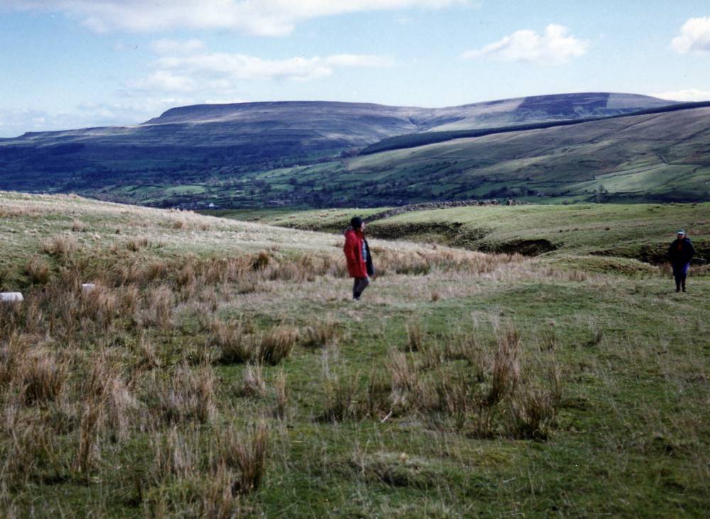
| Image 1 ID | 323 Click image to enlarge |
| Image 1 Description | The two burnt mounds above Skellicks Beck. |  |